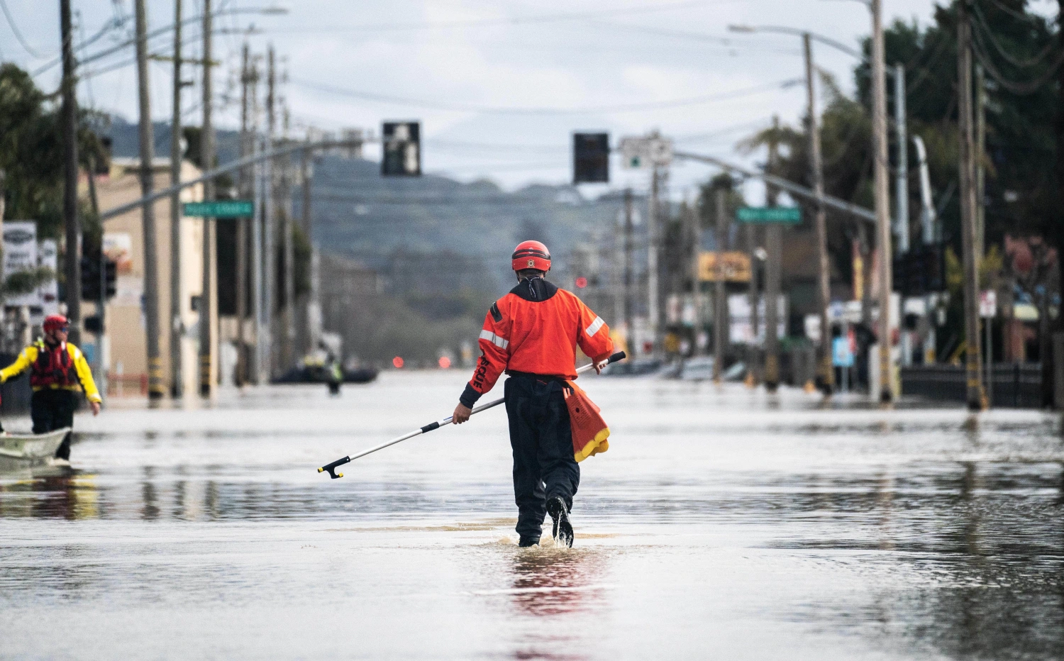
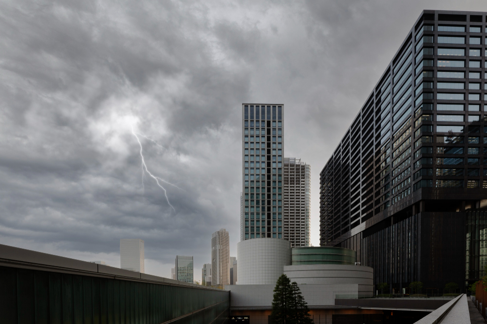
Over 20 million residents across Southern California are now under flood watches as a strong Pacific storm moves inland. Meteorologists caution intense rain could produce near one inch of rain per hour, especially overnight when the strongest period of the storm is expected. Mountain and foothill regions may receive four to six inches of total rainfall with local amounts higher. This would represent nearly an entire month’s November rainfall, all falling with one storm. The flood watch covers multiple counties highlighting the strength of the storm and rise risk to flooding in urban and rural settings.
Read more-
Burn-Scar Zones at Highest Danger
Regions that previously experienced damage from wildfires are at greatly increased risk as the rain comes in contact with unstable soil. The burn-scar regions of counties including Los Angeles, Ventura, and Santa Barbara have issued evacuation warnings because of the possibility of fast-moving debris flows. Areas that burned are at risk because, after being burned, there is no longer vegetation to absorb runoff, so burned hillsides may loosen with storm runoff. Then mud, rocks, and debris slide downslope, often with little warning to those below.
Timing, Precautions, and Expected Impacts
While light rain could commence early in the storm, the system will bring its greatest threat of impact overnight and into early Saturday, with increasing chances of heavy rain, gusty winds, thunder, and debris flows. Officials are pre-deploying emergency crews, cleaning drainage channels, and urging residents to avoid low-lying roadways subject to rapid flooding. Streets around canyon mouths and burn-scar zones may become impassable. As conditions could change rapidly, public safety agencies are encouraging everyone to stay tuned to updated weather information and fully comply with any evacuation orders. Click here for source


