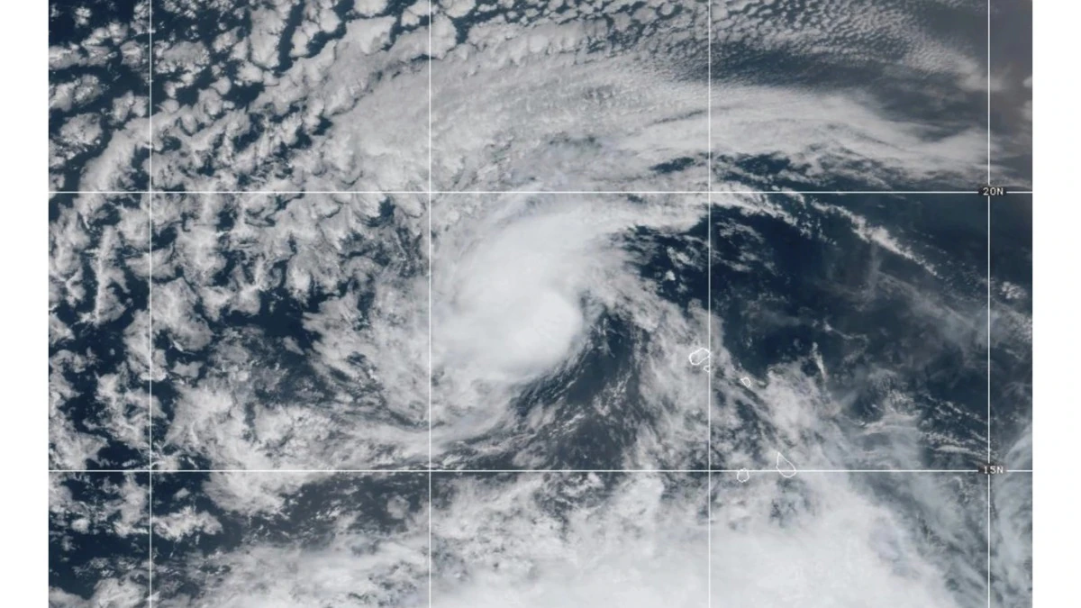
As Tropical Storm Erin circulates over 1,700 miles east of the Leeward Islands, meteorologists are taking notice of the fact that it is steadily strengthening. According to the National Hurricane Center (NHC), Erin is the first hurricane of the 2025 Atlantic season. The storm developed earlier this week, and is currently sustaining winds around 50 mph while forecasters believe it will strengthen in the next 48 to 72 hours. Erin is very far from any land sources, however, its development has sparked discussions of early-season storms and possible implications later this month.
Tracking the Storm’s Path and Potential Threats
Forecast models of Erin indicate that it will continue moving west-northwest over open water for the next several days. Although Erin is not threatening the U.S. mainland or the Caribbean in its current trajectory, forecasters pointed out that tropical systems are unpredictable. The NHC has urged coastal residents to pay attention to updates because even slight transitions in currents, sea surface temperatures or atmospheric pressure can cause systems to adjust course. Sea surface temperature in the Atlantic is warmer than average this year and could provide adding fuel for Erin to intensify. For now, the focus is tracking Erin’s path, and improving modeling for possible landfall.
Read more- Bollywood’s Festive Release Battles – Top 4 Diwali 2025 Releases & Box Office Buzz
Preparedness and Early Warnings
While the likelihood of Tropical Storm Erin producing direct impacts is low, the system’s development provides a timely reminder for all who live in a hurricane-prone area to review their hurricane preparedness plans as the peak of the Atlantic hurricane season runs from late August through early October, and first systems of the season can sometimes indicate an above-average season. Emergency management organizations have issued recommendations to residents, such as ensuring adequate supplies, communication plans, engaging in resilience-building measures, and reviewing relevant warnings and advisories from qualified meteorological services. While forecast guidance continues to improve, and predictability of evolving systems and phenomena increases, public awareness and readiness continues to be the most essential tool for overcoming risks posed by storms. Eyes will remain on Erin in the days to come, as we shall be able to evaluate how this year’s hurricane season may develop. click here for source


