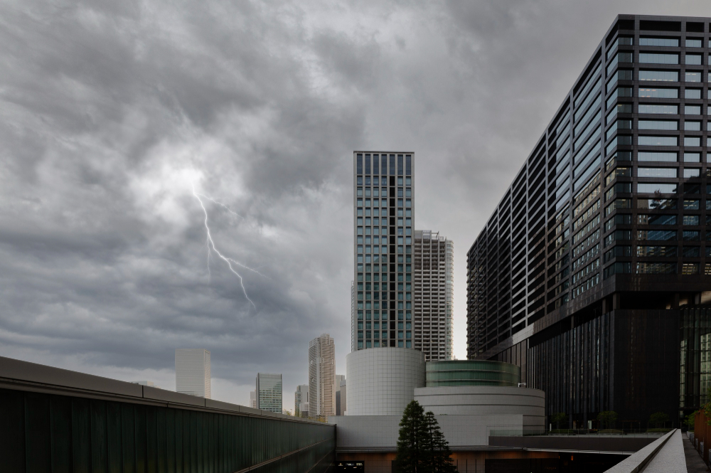
Strong storms hit Texas and will reach Houston on Wednesday with a risk of severe weather. Weather conditions will improve afterwards.
This week, Houston didn’t experience severe weather, but other parts of Texas had hail and wind. The Panhandle and the Dallas-Fort Worth area were mostly affected by severe storms on Monday and Tuesday.
On Wednesday, a low-pressure system will move to the southern Plains. Southeast Texas will experience strong thunderstorms as a result.
Storms are expected to reach Houston by 5 a.m. Wednesday. They will develop in the Hill Country overnight Tuesday, according to weather models.
The High-Resolution Rapid Refresh model predicts severe weather in Southeast Texas early Wednesday. Thunderstorms may cause heavy rainfall.
The Storm Prediction Center has issued a severe weather warning for the region. Strong storms are expected to be widespread. The risk level is 3 out of 5.

Potential Severe Weather Hazards
The weather forecast indicates that there may be severe thunderstorms in some areas. Damaging winds with speeds greater than 75 mph and hailstones larger than 2 inches in diameter are possible. These are dangerous conditions that could cause property damage and put people at risk.
In addition to these hazards, there is also a potential for tornadoes, some of which could be EF-2 or stronger. While tornadoes are less likely than strong winds or large hail, they can be extremely dangerous and unpredictable. People in affected areas should take precautions and stay informed about the weather conditions.
The severe weather is expected to occur in areas located north of Interstate 10 and east of Interstate 45 through daybreak. It’s important to stay aware of updates from weather authorities and follow any safety recommendations. By doing so, we can help ensure that everyone stays safe during this potentially dangerous weather event.
The thunderstorms may move east of Houston by the morning commute. Plan ahead in case of heavy rainfall or delays.
Rapid Improvement in Weather Conditions
The morning weather forecast may be difficult, but it will get easier in the afternoon. The weather will become simpler to understand later in the day.
A cold front is moving east, bringing dry and less humid air and sunny weather by Wednesday afternoon. The wind direction will change to northwesterly, and temperatures will reach the upper 70s. Thursday will have a cool start to the day.
Chilly Mornings Ahead
Wednesday afternoon will be cool. Later in the week, it will get warmer and reach the 80s. Mornings will be chilly.
The National Blend of Models predicts low temperatures on Friday in Southeast Texas. Houston may see temperatures in the 50s, while areas outside the city could drop to the upper 40s.
Thursday and Friday morning temperatures will be in the low to mid-50s. For those keeping count at home, this is around five to eight degrees lower than the normal temperature in early April. If you’re concerned about the return of scorching mornings in the summer, appreciate the crispness while it lasts. By the weekend, morning temperatures will be in the mid to upper 60s.
Measures to take
Given the potential for severe weather and heavy rainfall in Houston and Southeast Texas early Wednesday, it’s important to be prepared and take necessary precautions to stay safe. Here are some tips to keep in mind:
1. Stay informed: Keep an eye on local news and weather updates to stay informed about the evolving weather conditions. This will help you make informed decisions about whether to venture out or stay indoors.
2. Secure outdoor items: High winds can cause damage to outdoor items such as patio furniture, lawn decorations, and loose branches. Make sure to secure such items or bring them indoors before the storm hits.
3. Stay indoors: If possible, stay indoors during the storm to avoid the risk of being struck by lightning or flying debris.
4. Avoid flooded areas: Do not drive or walk through flooded areas, as this can be extremely dangerous. Flood waters can be deeper than they appear and may hide hazards such as downed power lines.
5. Have emergency supplies on hand: It is a good idea to have a stock of emergency supplies such as flashlights, batteries, first aid kits, and non-perishable food items on hand in case of power outages or other emergencies.
By taking these precautions, you can stay safe during the storm and minimize the risk of damage or injury. Remember to always prioritize your safety and that of your loved ones.


Pingback: Patanjali's Misleading Ads: Supreme Court's Verdict - Virale News
Pingback: Wonders of the Small Intestine: Maximizing Nutrient Absorption - Virale News